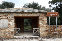
Entrance of the Archaeological Site


Since ancient times and towards the south of the ancient city of Thassos, in the region of Alyki, a second much smaller settlement was created and it got developed by the exploitation of the existing marble. Time, as well as human activities, economic and quarrying, left their indelible marks on Alyki. Visitors can tour the archaeological site and see monuments which are dated all the way from the Archaic period to the Byzantine period, but they can also see the sites of the ancient marble quarries which were very accurately described by the archaeologists as an "open museum of ancient technology".
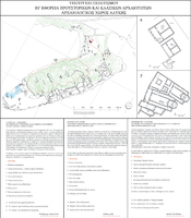
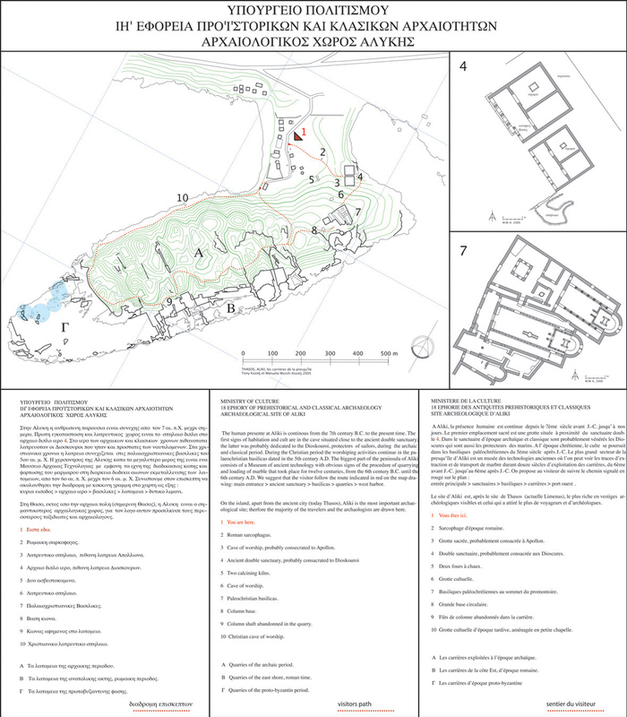
At the entrance of the Archaeological site, there is a sign from the Archaeological Authority of Kavala and Thassos, which displays a floor plan with all the religious buildings of Alyki, topographic map of the peninsula with general information, and a proposed circular route, which enables the visitor to get a clear picture of the area and its history.
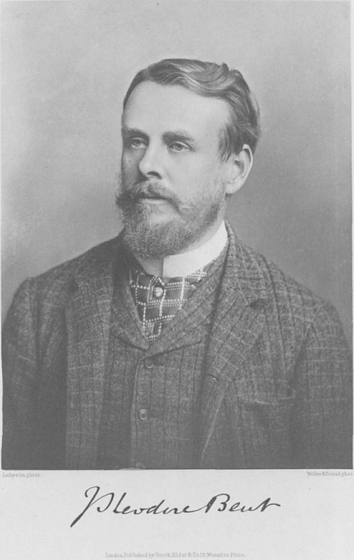
The antiquities of the peninsula of Alyki were known to the foreign sightseers as early as the 19th century, when the island was conquered by the Ottoman Empire. The first excavations on the site of an ancient temple, took place from 1886 to 1877, by Theodore Bent. In 1924, A. Laumonier and Y. Bequignon continued the excavation which Bent had started before. However, proper regular excavation activities on the site started by the French Archaeological School in 1961, and they were led by J. Servais and P. Bernard. These activities got completed in 1964.
The first excavations in the early Christian basilicas were led by F. Salviat, in 1964, and they continued, during the periods 1969-1973 and 1976-1977, under the command of Jean-Pierre Sodini.
There are two versions considering the current name of the region. The first version is based on the testimony of Emmanuel Miller, who names the region "Alki". The latter word in ancient Greek means: power, strength and vigor. This name is probably related to the strong economic activity as well as the big number of castles of the region, castles which aimed to control the quarries as well as the countryside, and which were found by the French, archaeological, surveys.
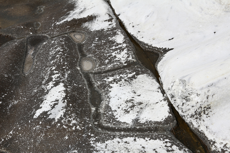
Later on, probably due to alteration of the original name, the area was named "Alyki" and that happened because of its supposed salt deposits, during the summer months, which are formed on the cavities of the quarry, cavities which the villagers use for their olives.
Today, there are no such deposits anywhere on the bay, even in its drier places. The only sediment which you can observe in these places is crumbled marble dust, caused for the erosion due to sea waves and the wind, and there is nothing related to salt, or even a small quantity of it.